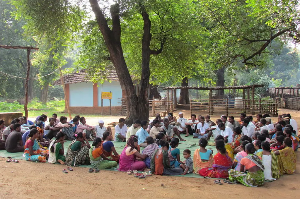
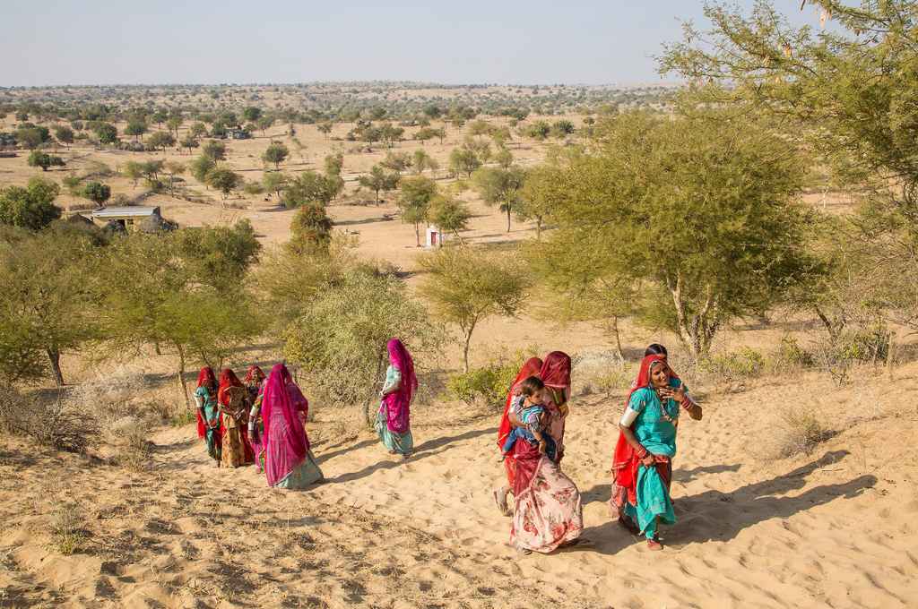
India, renowned for its diverse landscapes and communities, has nearly a quarter of its territory as communal or common lands. These encompass a range of areas such as grazing pastures, village commons, and community forests, all collectively used and managed by local communities. This subtle yet pivotal role significantly contributes to sustaining rural livelihoods, biodiversity, and ecological balance.
At the heart of the current discourse on land governance lies the profound impact of open data (Sorensen 2018). Despite this, it’s noteworthy that almost a quarter of a century has elapsed since the last documented assessment of India’s common lands took place in 1998. This dearth of comprehensive data and knowledge has engendered weak policies, conflicts, and inadequate public oversight. The opacity has also paved the way for the appropriation of such lands, unsustainable resource use, and missed opportunities for conservation. Despite judicial calls for action urging their protection (see, for instance, the case of Jagpal Singh & Others vs State Of Punjab & Others), common land resources are presently undergoing a swift and alarming decline (Pandey 2019).
Adopting data-centric strategies to shape decision-making emerges as the next logical step. Since the governance of common lands transcends administrative boundaries and involves multiple stakeholders with varying interests, it requires a dynamic collaboration to co-create data, tools, and processes to enhance the effectiveness of land management. As the crucial first step, a comprehensive registry can help establish an integrated and holistic framework for the governance of these lands.

If you can’t measure it, you can’t manage it
A common land registry goes beyond a mere public record of land parcels; it serves as a repository of shared resources, encompassing geographical data, political boundaries, and legal cadastre. While the United Kingdom has been a prominent example, diverse forms of such registries also exist in countries like Uganda, Peru, and Tanzania. Although Indian states have inventoried public lands for ‘land banks’ in the past, these efforts are primarily aimed at steering them towards more productive uses, such as urban expansion, infrastructure, industries, and, more recently, compensatory afforestation.
In contrast, a common land registry seeks to inform resource management, facilitate decision-making, and safeguard customary rights. To this end, it can include information about land categories based on historical and customary use, precise land parcel boundaries, restrictions on land use and alienation, documentation of shared access and resource rights, along with details of ownership and management entities.
Roughly three-quarters of land-related conflicts in India revolve around common lands.
Integrating digital maps with advanced geographic information systems (GIS) can provide a more accurate understanding of the on-ground situation. A prime example is Delhi’s e-Dharti GeoPortal, which combines legacy drawings like maps and lease plans into a GIS-enabled system, showcasing the potential in this regard. The concept of an integrated GIS-enabled land portal, available at the national, state, district, block, and village levels, also aligns with the vision set forth by the Draft National Land Reforms Policy of 2013.
This act of opening land data to the public can strengthen social accountability and facilitate continuous improvements in its administration. Harnessing technology and enabling stakeholders to remotely access and verify data can improve transparency, reduce information asymmetry, and curtail instances of fraud. Roughly three-quarters of land-related conflicts in India revolve around common lands, often materialising as on-ground protests due to an inadequate recognition of rights (Rights and Resources Initiative & Tata Institute of Social Sciences, 2016, Wahi 2019). An open, digital common land registry holds the potential to reshape conflict resolution by reducing ambiguities and fostering transparency. GIS applications can further deter encroachments through historical analyses, as is being done with water bodies in Tamil Nadu. This could prove particularly valuable to dispute resolution authorities such as the Public Land Protection Cells (Chandran and Singh 2022).
Establishing the common land registry as a definitive reference point requires an understanding of the dynamic nature of common lands—where rivers shift courses, grazing occurs seasonally, and governance rules constantly evolve. State governments, vested with the constitutional power to devise their land-related policies, are best positioned to anchor the process. Nevertheless, given the existing heterogeneity of regulations, practices, and even land categorisation within each state, the involvement of the central government becomes crucial to establish baseline standards or a guiding framework, akin to the efforts made under the centrally-sponsored Digital India Land Records Modernisation Programme.

Integrating data and knowledge systems
Over the years, state departments have progressed in developing data systems and digitising paper records to support their primary areas of operations. Yet, the lack of well-coordinated information across government units remains a challenge. A case in point is observed in Andhra Pradesh, where numerous villages recently urged their district authorities to include their common lands in the Prohibitory Order Book (POB)1. Doing so ensures that these lands, otherwise categorised as ‘wastelands’, are reserved for communal use and safeguarded from diversions for alternative purposes.
Although several villages saw lands entered into the POB following their requests, the communities’ rights to manage the resources usually did not get documented. This results from the historic disconnect between the land revenue departments and local governing bodies under the Panchayati Raj system. The former, concerned primarily with documentation and land records, can sometimes overlook the social, cultural, and economic significance of common lands. On the other hand, the latter, while engaged with local communities, lacks the legal mechanisms required for formal recognition and protection of lands beyond the panchayat circle. This scenario is exacerbated by vague land boundaries, encroachments, and competing claims.
Yet, this August, hope emerged in the village of Chintamakulapalle, Andhra Pradesh, when the panchayat received a long-awaited letter from the revenue department, officially acknowledging their custodianship of the hard-fought common lands. As a definitive step forward, the panchayat promptly entered the lands into their panchayat asset register, planting the seed for others to follow. Even without clearly established processes to secure tenure, the community’s rights and customs can hold weight in a court of law.
This triumph resonates as more than a local victory: it echoes the need to harmonise India’s diverse land information management practices into a cohesive whole. A cohesive strategy is needed to break down data silos and integrate different knowledge systems. This should empower communities to make well-informed decisions that safeguard the sustainability of common lands for generations to come.
Common land registry as the single source of truth
Recognising community stewardship is at the core of this initiative. As the primary stakeholders, communities should form the foundation upon which the registry is built, making their active participation and ownership pivotal to its success. The process begins by harmonising existing documents such as the panchayat asset register, people’s biodiversity register, and other records maintained by committees entrusted with local natural resource management. In Assam, for instance, village-level committees are designated as the guardians of land resources. They oversee the preparation of and update the village ‘land bank’ and ‘knowledge bank’, ensuring resource protection.
Similar responsibilities are undertaken at various tiers of government. This is seen in Karnataka, where the taluk panchayat has to consolidate, maintain, and update a database of pertinent socio-economic information and a map of natural resources. Rajasthan elevates this with a multi-layered structure where Charagah Vikas Samiti (pasture-land development committees) at the panchayat, block, and district levels prepare records and development plans for grazing lands within their jurisdiction. At the apex, the Waste Land and Pasture Land Development Board has to create and maintain a statewide database.
The registry itself is not a panacea for all land-related challenges.
Central to the registry’s success is the principle of being a “single source of truth”, housing accurate, comprehensive, and up-to-date information. Achieving this goal requires a multifaceted approach that spans legal, technical, administrative, and community engagement dimensions. It also needs synergy among various horizontal and vertical nodes of decision-making. Progress is already being made at the intra-departmental level within states. Assam, for instance, has launched the Integrated Land Records Management System, aimed at improving the interconnectivity among different revenue departments for property registration, land records updation, revenue collection, and transfer approvals of immovable property. It is equally important to enhance inter-departmental collaboration to ensure the accuracy and comprehensiveness of the registry. This initiative will require the participation of key players such as the departments of land revenue, Panchayati Raj and rural development, forest, agriculture, information technology, and urban development.
The registry itself is not a panacea for all land-related challenges; it must exist within a broader strategy. For instance, the process of documenting and harmonising the boundaries can unearth conflicts within and among communities. This emphasises the need to incorporate boundary negotiations, conflict resolution processes, and fostering trust among stakeholders as integral facets of registry development. Concerns surrounding digital land grabbing have also surfaced, necessitating a more robust legal regime for communal property and collective stewardship (GRAIN, 2022). Appropriate checks and balances, such as carrying out regular land audits and geospatial analysis, can also thwart the potential for misuse. It is also vital to continue strengthening digital infrastructure at the local level while building capacities of panchayats to maintain registers and records, as outlined under the National Capability Building Framework.
While acknowledging these caveats, the need for evidence-based planning and sustainable resource governance also remains indisputable. The registry has the potential to evolve into the foundational data source that can be used across sectors and domains. This can further empower decision-makers at various levels to base their choices on reliable data, thus facilitating the development of more effective, targeted policies. In this manner, the registry can transcend its role of being a mere data repository, and intricately weave together the threads of traditions and technology, resulting in a unified fabric of progress.
—
Footnotes:
- The Andhra Pradesh Assigned Lands (Prohibition of Transfer) Act, 1977 details the procedure for how different categories of land including wastelands and Poramboke lands can be assigned by the Revenue Department.
This article was originally published on Ideas for India.